Bremer basin hydrocarbon prospectivity assessment
Completed
Posted 335 weeks ago
No longer accepting applications
Overview
~8 months, ~2-3 day/week commitment
Duration
Part-time or full-time
Project Type
Regional Context
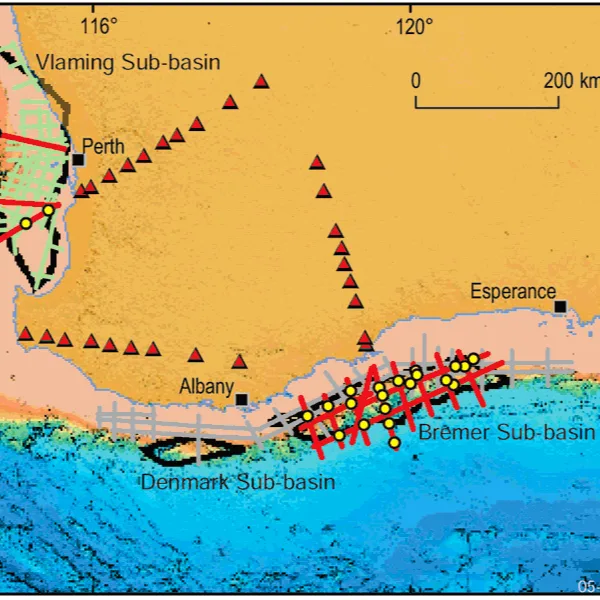
The Bremer Sub-basin, is a deep-water frontier area for petroleum exploration. No wells have been drilled to test the sub-basin’s petroleum potential, with company exploration limited to a regional seismic survey by Esso Australia Ltd. in 1974. Early studies identified the Bremer Sub-basin as a series of Middle Jurassic–Early Cretaceous half graben, which contain potentially prospective structures for trapping hydrocarbons.
Regional insights and the development of new tools and technology have sparked renewed interest in this area.

Available Datasets
Seismic and geo spatial datasets:
2004 Southwest Frontiers (S280) 2D seismic
2009 2D seismic survey (Arcadia Petroleum)
2004 AGSO MS 265 2D Bathymetry survey
1974 2D seismic survey (Esso)
1972 Aeromagnetic survey (Esso)
Software Provided
ArcGIS
Kingdom Suite
Project Goal
The explorer is expected to assess the prospectivity of the basin through interpretation and integration of the available datasets, with the goal to:
Understand charge potential in basin and build annotated Charge Play Map
Complete play maps for remaining elements
Identify potential leads and prospects including estimate of risk and resources
Deliverables
Literature and legacy data review
Seismic interpretation focused on charge identification, incl. e.g.,:
Regional 'hero' line with mega-sequences
Isochores/isopachs
Structure maps
Prelim. play analysis focused on charge identification, incl. e.g.,:
Charge Play Element map
Timing and migration routes
Play cartoon
Play analysis incl.:
Detailed Play Cartoon
Structural domains element map
Play Element map
Petroleum Syst. Events Chart
One prospect/lead concept mapped in time and depth including:
Migration, reservoir, trap and seal
Risks and order-of-magnitude volume assessment